Air pollution is a growing concern worldwide. Its detrimental effects on health and the environment are undeniable. As cities expand, traditional monitoring methods struggle to keep pace. This is where Air Pollution Detection Drones come into play.
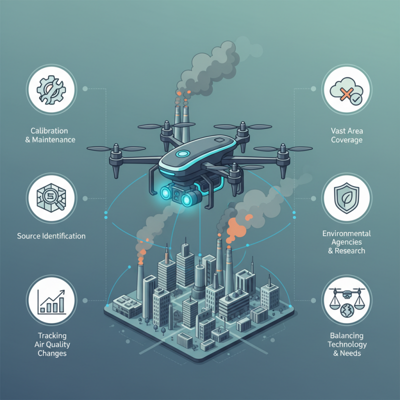
These innovative tools offer new solutions to an old problem. Equipped with advanced sensors, they can identify pollution sources and track air quality changes. Their ability to cover vast areas quickly is invaluable for researchers and environmental agencies. However, effective use requires understanding their capabilities and limitations.
While Air Pollution Detection Drones can provide crucial data, they are not foolproof. Users must ensure proper calibration and maintenance. Insights gained are only as good as the technology employed. As we explore their application, we must reflect on best practices and areas for improvement. Balancing technology and environmental needs is essential for accurate and reliable results.
Understanding Air Pollution: Key Concepts and Terminology
Air pollution is an urgent global issue. Understanding its key concepts can help us tackle it more effectively. At its core, air pollution refers to harmful substances in the atmosphere.
These substances can come from various sources, including industrial emissions, vehicle exhaust, and natural events like wildfires. Knowing the types of pollutants—such as
particulate matter (PM), nitrogen dioxide (NO2), and ozone (O3)—enables us to
identify the most pressing air quality concerns in our communities.
Monitoring air quality is essential. This is where
drones come into play. They can collect data in hard-to-reach areas and provide real-time information about pollution levels. Yet,
using drones requires skill and careful planning. Operators must be aware of local regulations and safety protocols. Using drones effectively involves analyzing data to make informed decisions. However,
inconsistencies in data collection can occur. Factors like weather conditions or equipment malfunctions could affect results.
Understanding air quality is complex.
Public awareness is vital, yet often lacking. Communities need guidance on interpreting pollution data.
Educational initiatives can fill these gaps. Moreover, collaboration among scientists, educators, and policymakers can enhance understanding. As we strive to improve air quality together, let’s reflect on
how we can better use technology like drones while addressing the challenges that come with it.
Selecting the Right Drone for Air Pollution Detection
Selecting the right drone for air pollution detection is crucial. Various factors affect performance and data accuracy. The payload capacity is essential. A drone must carry the necessary sensing equipment. Devices like gas sensors and particulate matter analyzers require adequate weight limits.
Battery life is another vital aspect. Longer flight times can collect more data across wider areas. Drones that only fly for short periods may not be practical for extensive monitoring tasks. Additionally, consider the range of the drone. It should operate efficiently in different terrains and urban areas.
Also, think about software compatibility. User-friendly interfaces help in data collection and analysis. A drone may seem perfect but lacking in software could limit its effectiveness. Each drone has unique features that may not fit every need. Evaluate your objectives carefully to choose wisely.
Planning Effective Flight Routes for Data Collection
Effective flight route planning is crucial for air pollution detection drones. To gather accurate data, routes should cover diverse environments. Urban areas with heavy traffic and industrial zones are hotspots for pollution. Consider seasonal changes too; pollution patterns often shift with the weather.
Tips: Use GIS software to identify pollution hotspots. This tool helps visualize areas of concern.
The altitude of the drone matters. Flying too low can limit data quality, while too high may miss ground-level pollutants. Many reports emphasize varying pollutant distributions by height. It is essential to pilot drones at multiple altitudes to gain comprehensive data.
Tips: Schedule flights during peak pollution times. This ensures capturing maximum data points.
Experiment with different flight patterns. Circles, squares, and zigzags can yield varied results. Continuous reflection on flight patterns can reveal more effective routes. Each environment will present unique challenges, and adapting is key.
Interpreting Air Quality Data Gathered from Drones
Air quality data gathered from drones can provide crucial insights into pollution levels. Drones can access hard-to-reach areas, collecting data in real time. They can measure various pollutants, like particulate matter (PM2.5 and PM10) and nitrogen dioxide (NO2). According to the World Health Organization, around 4.2 million deaths occur annually due to ambient air pollution. This underscores the importance of accurate data collection.
When interpreting the data, consider the context of the environment. Urban areas may show high levels of PM due to traffic. Rural areas might highlight agricultural impacts. Researchers should be cautious of anomalies in data, as they may indicate sensor errors or environmental factors affecting readings.
Tip: Regularly calibrate drone sensors to ensure data reliability.
Understanding how weather patterns affect air quality is vital. For example, temperature inversions can trap pollutants at low altitudes. Analyzing historical data can reveal patterns and trends in air quality. This can help identify sources of pollution.
Tip: Collaborate with local environmental organizations for comprehensive analysis.
Drones empower communities to monitor air quality effectively. Yet, data alone does not tell the complete story. It requires interpretation through
bold insights and
multi-dimensional analysis.
Implementing Follow-Up Actions Based on Drone Data Insights
Drones equipped with air pollution detection technology provide valuable data. However, gathering data is just the beginning. To harness this information, follow-up actions must be effectively implemented. Local authorities and environmental agencies need to analyze the data thoroughly. Understanding the specific pollutants detected is crucial. This allows for tailored responses to urgent air quality issues.
In some cases, data may reveal unexpected patterns. These insights can lead to identifying pollution hotspots. Communities might be unaware of these areas. Engaging with local residents becomes essential in these situations. They can contribute to monitoring efforts. This collaboration is vital for fostering a sense of shared responsibility.
Moving beyond analysis, actionable steps must be taken. This may include adjusting traffic signals to reduce congestion. Public awareness campaigns can also educate citizens about pollution. Yet, it’s important to reflect on the limitations of drone data. While they provide a snapshot, conditions may change rapidly. Continuous monitoring and adaptive strategies are necessary for long-term solutions.
Conclusion
Air Pollution Detection Drones serve as an innovative tool for monitoring air quality and understanding pollution levels in various environments. To utilize these drones effectively, it is essential to grasp key concepts and terminology related to air pollution, ensuring that users can accurately interpret the data collected. Selecting the right drone model tailored for air quality assessment, alongside planning efficient flight routes, plays a significant role in gathering reliable data.
Once the drones have collected air quality data, effective interpretation is crucial for deriving meaningful insights. This information can guide follow-up actions, allowing communities and organizations to implement strategies aimed at improving air quality and public health. By leveraging the capabilities of Air Pollution Detection Drones, stakeholders can proactively address environmental challenges and foster a healthier ecosystem.